Saturday, February 28, 2015

Beaumont to Palm Springs--Wind

Cathedral City, CA.  The temperature outside my door in Beaumont Friday morning was 47 degrees, a significant drop from the 85 degrees that was the high the previous day. Worse, the wind was blowing strongly. LA TV weather reports warned of heavy winds that would result in rain throughout the area on Saturday.  It was not a promising start.

The good news about riding east to Palm Springs is the steep decline in elevation, from 2600 feet to 479. Phoning friends in Palm Springs, they reported clear skies compared to the heavy cloud that enveloped Beaumont. Strong wind, however, was common to both locales. At the barber shop a woman spoke ominously of sand storms along the route.

Google maps listed a pleasant cycling route along roads paralleling the interstate for most of the 40 miles to Palm Springs.  At Banning it suggested a deviation to the north that would add distance but avoid the need to cycle on interstate 10.  I followed that route, which took me to the gated entrance to an Indian reservation where I was turned away.


Back at the interstate I was warned about a blind spot on the underpass that curved up towards the highway. A highway worker eased my concern saying traffic was light and there wouldn't be a problem. He was right. 

Thus began my first foray on the wide shoulder of eastbound interstate 10. After only one mile the recalculated Google maps directed riders along a side road parallel to 10. It was there the wind became stronger, so much so that I seldom needed to pedal.  It was a powerful tailwind and at times my speed touched 32 mph. It was too fast. I traveled several miles with finger tips over the brakes.

Gradually descending to the desert floor the sky lightened but the wind became even stronger. Any rider on this route is aware of how rapidly conditions and geography change. There is a reason hundreds of giant windmills populate the desert terrain on the western approaches to Palm Springs.

wind farms west of Palm Springs

On highway 111 approaching Palm Springs I stopped at an isolated gas station and parked the bike in a place I thought was out of the wind. No such luck.


In the ensuing five-miles I was compelled to stop multiple times in order not to be blown over. The cross winds were the worst.  Once past the wind farms and behind the rocks that shield the several towns in the Palm Springs area, conditions eased. The sun shone brilliantly and the temperature may have been in the upper 60s. But gazing to the rear the sky was ominous.


Saturday and Sundays are question marks as the route towards Arizona begins with a long, steady climb. After Indio there are few facilities for 80-miles. 

Friday's ride was 43-miles, bringing the total since Monday in Long Beach to about 125-miles.


Friday, February 27, 2015

Riverside to Beaumont--a Higher Elevation

Beaumont, CA. Probably the reason Adventure Cycling starts its southern crossing of the US from San Diego is because it's too complicated getting out of the L.A. area.

I started late from Riverside because I waited until the nearby bike shop on Magnolia Avenue opened at 10. I needed a safety pennant and a Camelbak hydration kit before venturing farther east. I also wanted a local perspective on the best route since the trails had ended and it would be all thoroughfares and highways from here on.

Jimmy Pratt, the manager at Cyclery USA, gave me the lowdown. He put me onto the route he rides when heading up the escarpment east to Beaumont.  It would be longer but safer and avoid getting onto the freeway.


With Jimmy's written directions in my pocket, I was underway at 11:15. Once through Riverside traffic it was hard work heading up a long grade on Alessandro Avenue. An elevation that was sea level a day earlier rose to 1800 feet during the course of a day when the temperature touched 85.

Two hours later past Moreno Valley the urban sprawl was gone. It was high country southern California. I knew I was in the country when a tumbleweed blew across the road and there were horse farms aplenty.

tumbleweed on the roadway

Jimmy had me turn north on Redlands Road, a four to five-mile detour. But the alternative was the busy freeway of the type I'll soon be experiencing anyway.


Once through the canyon I was rewarded with a long, relaxing ride east along San Timoteo Road all the way into Beaumont.

The unexpected delight was being adjacent to the double tracks of the Union Pacific railroad. In the span 45-minutes there were five westbound trains going past. All of them were about one-mile in length. Most were double stacked with containers headed for the ports of L.A. and Long Beach. The final train consisted solely of the huge blades used in wind farms. It may be that the frequency of trains is related to the slowdown on the west coast docks that so badly disrupted logistics.


It was 5 p.m. as I approached Beaumont, a mid-sized town situated where highway 60 meets interstate 10. Stopping to make a hotel booking, I was amazed to find clouds in the sky and the temperature 25 degrees colder than an hour earlier.  Another three miles and I settled in for the night, needing a jacket and feeling silly in short pants.

at Moreno Valley

I had traveled 41 miles from Riverside.


Wednesday, February 25, 2015

Huntington Beach to Riverside

Compared to Washington's Capital Crescent Trail along the Potomac, the Santa Ana Trail is a poor cousin. It's not well marked in places, making it easy to wander into dead end side trails, as I did three times.  But it is a splendid trail for jogging and biking and serves a touring cyclist well by proceeding inland 30 miles, avoiding the road traffic of the sprawling L.A. suburbs.


On this sunny late February day there were ducks, egrets, herons and Canada geese, various kinds of ducks being the most common.  One man walking his dog in Santa Ana said two weeks ago there was no water and no birds.

Once again a mild wind was coming off the ocean, providing an assist to a northbound rider. For the first few miles snow-cover Mt. Baldy, where Leonard Cohen resided while studying Zen Buddhism, was straight ahead. 


All the while there was the sweet smell of Eucalyptus and red and pink Bougainvilleas in full bloom. At times one can be fooled that the panorama is South Africa or Australia.

The trail goes through Anaheim and the sports complex dominated by the Angels baseball stadium. For some distance in Yorba Linda the trail is almost rural but numerous construction sites and detours that were unmarked made it difficult to know one's location.  In my three unintended deviations from the trail I probably lost 45-minutes and had to backtrack considerable distances.


But the real challenge comes when the trail ends. There are a couple steep climbs leading into Corona  and city thoroughfares are the only option. Even from Corona Riverside is 15 miles north and east. Signs, maps and GPS provided little assistance in choosing which streets to travel. Biking signs were similarly of little help and they pointed in places they shouldn't. Only from navigating with GPS and dead reckoning from the sun and mountains provided reliable guidance.


Traveling east on Sixth Street in Corona during rushhour I was misled by a street sign and biking notice that said Magnolia Street, which I wanted, went off to the left.  It wasn't Magnolia, a mistake that cost another 30-minutes. Finally, at 6 p.m. I reached Riverside and checked into one of the several motels on the main drag. 

I achieved my objective. The day's total was just short of eight hours riding with 51 miles traveled.


Tuesday, February 24, 2015

From Long Beach to the Santa Ana Trail

Newport Beach, CA: This attempt to ride from L.A. to Phoenix is underway. Arriving at Long Beach airport from Salt Lake and DC, the bike box was intact and waiting at baggage claim.  It took 30 minutes or so to get it assembled, dispose of the box and get under way on a sunny 70 degree Southern California afternoon.


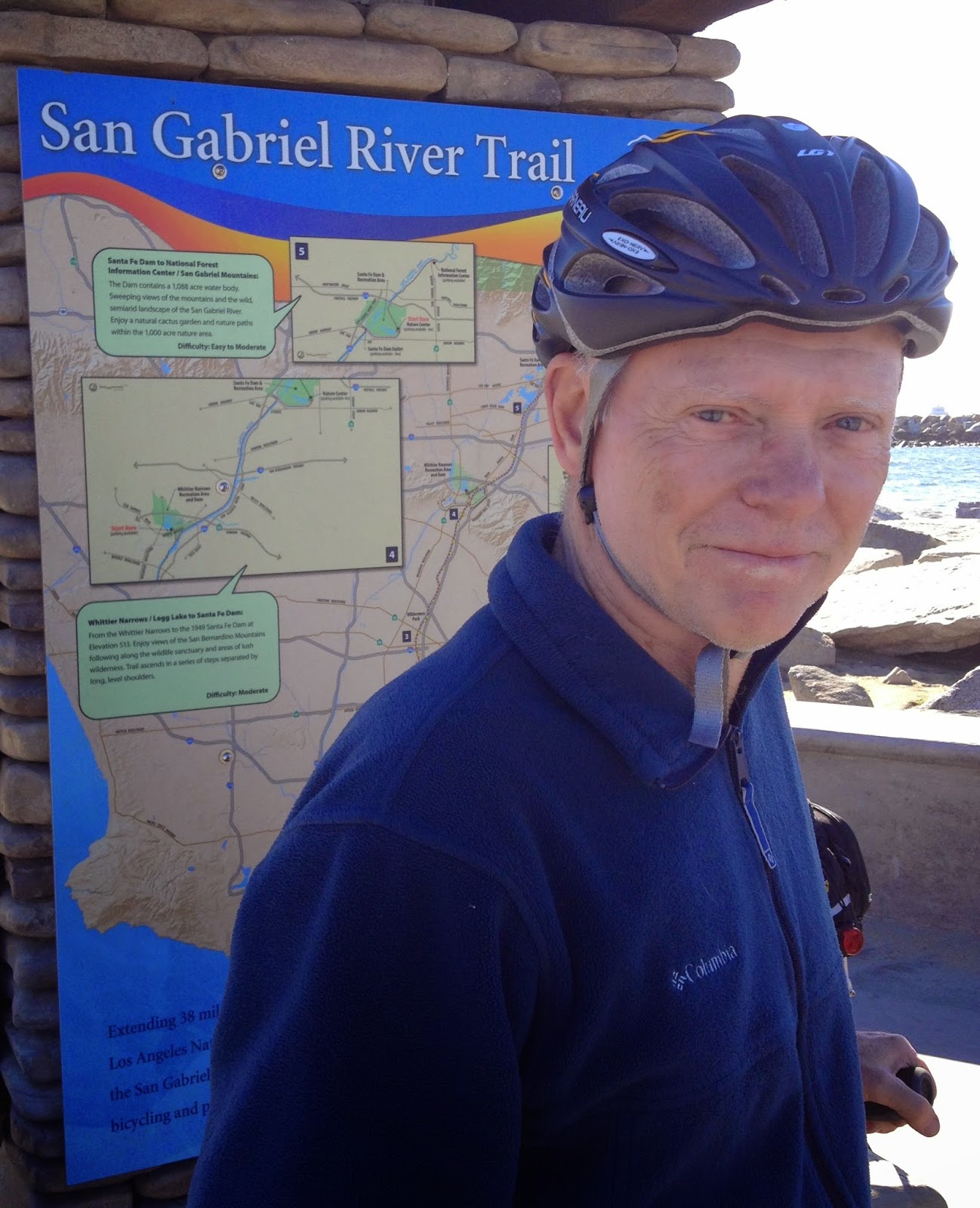
East of what was the main assembly plant for the Douglas DC series of commercial airliners is the San Gabriel Trail that runs along that river eight miles south to the Pacific Coast Highway and the sea. A stiff headwind came in off the ocean. Once at Long Beach harbor I counted two-dozen container ships at anchor, all of them unable to unload because of a labor dispute that has now been resolved.

  
From Seal Beach it was a pleasant 15-mile ride along the Pacific Ocean to Huntington Beach where the Santa Ana Trail begins and heads 30-miles or so inland to Anaheim and Riverside.

bike trail at Huntington Beach

Elapsed riding on the first day, 25-miles.